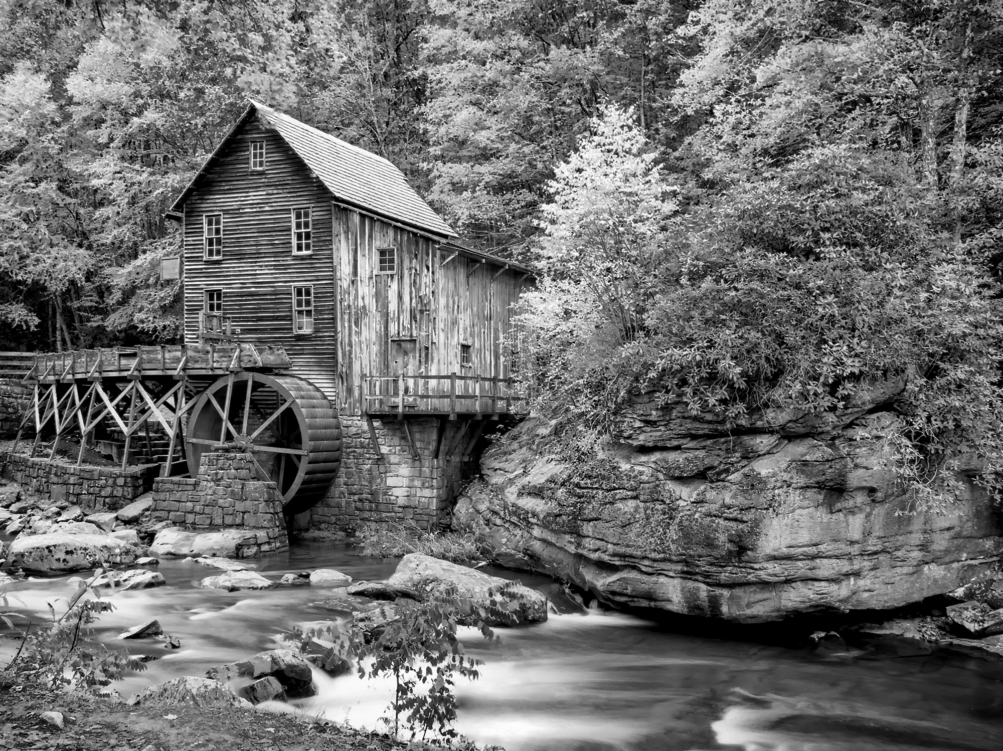
This is the McNeel Mill 2 miles from Hillsboro, WV. It is a pretty location and I loved my time working there with it!
Data: A7r2-7025- Shutter 1_500- McNeel Mill Hillsboro, WV
Berry College Mill in Rome, GA. This mill has a 46 foot tall wheel which is the largest in the US!
Here the mill is in operation which is a very rare event!
Leica M 240 w/ Summilux 50mm f/1.4 lens with Nik Analog EFEX Pro 2: Subtle Bokeh 2, for this image I desired a more realistic representation with slight blurring at the near and far edges.
Leica M 240 w/ Summilux 50mm f/1.2 lens, Topaz Impressions: Van Gogh 2
The Old French Creek Mill, off I40 in TN.
590nm Infrared
Cuttalossa Farm Mill
Just East of the Naval Air Station in Philidelphia
Golden Creek Mill
You can no longer access this mill.
Wilkerson Mill, GA
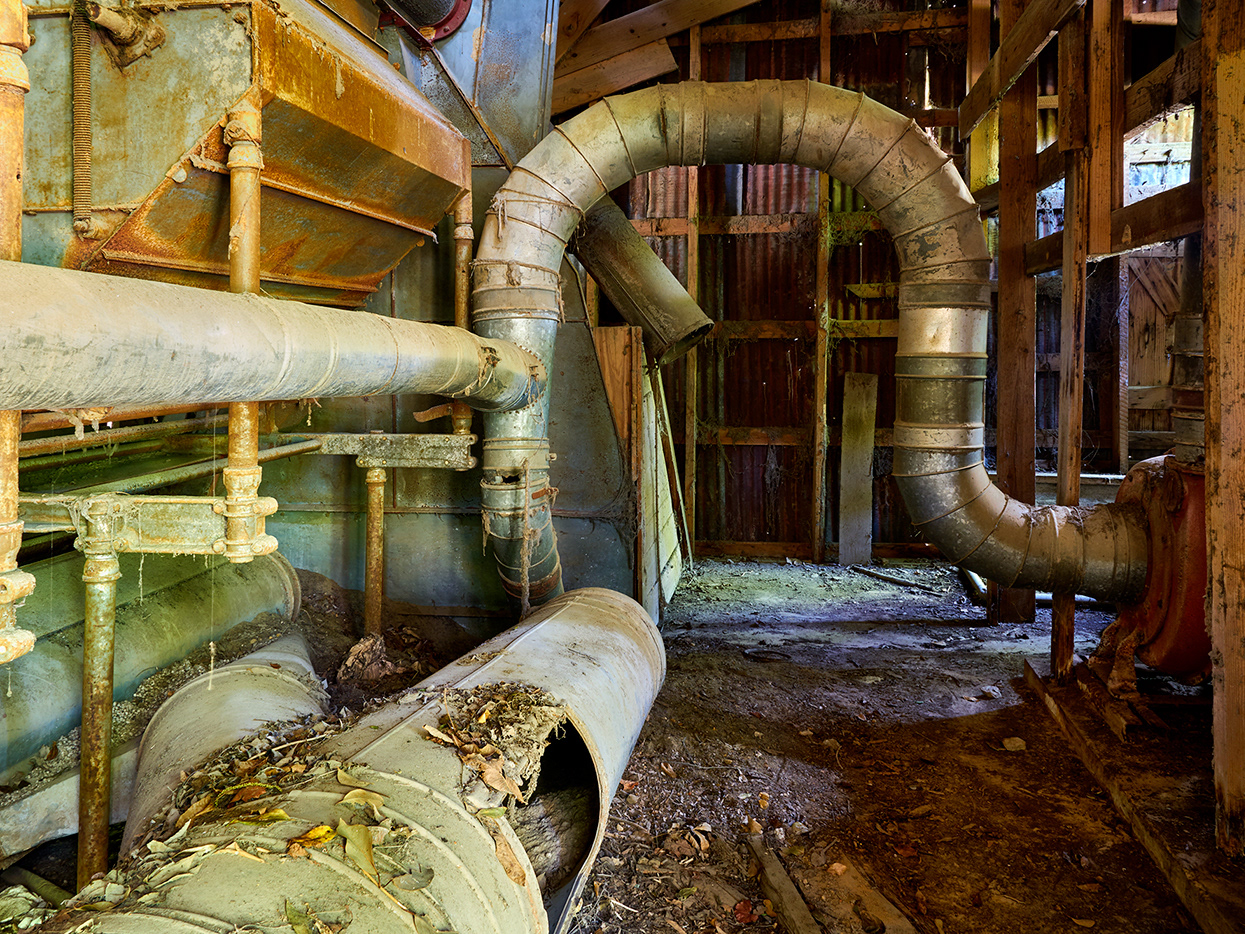
There is not much left of this mill and it is difficult to locate. It is on the property of a Plant Nursery
Wilkerson Mill, GA
There is not much left of this mill and it is difficult to locate. It is on the property of a Plant Nursery
